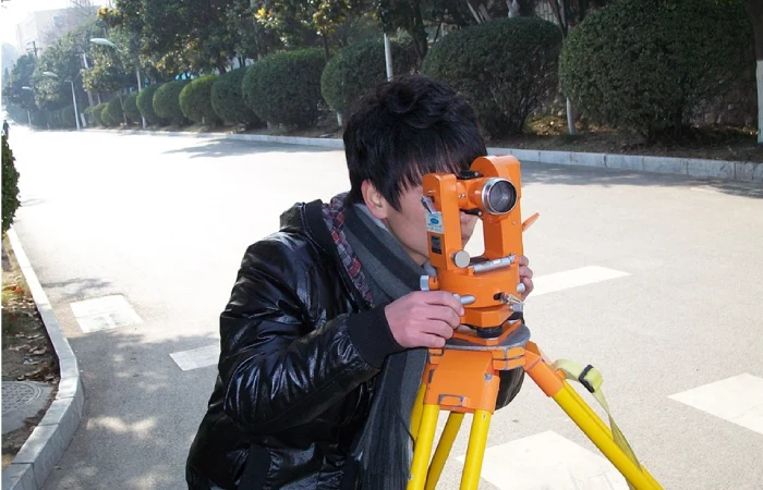
Property development requires significant planning and surveyors. Providing accurate information and measurements about the land is critical to the durability of the entire structure, and the work of the land surveyors is closely related to the field of civil engineers so that the latter can do their jobs properly.
Increasing the efficiency and safety of the project is a must at every phase and whenever a company or an individual decides to purchase land to develop it, the surveyors are going to play an essential role in this.
These experts are going to measure where the boundaries are and provide a detailed map of the area, the surrounding mountains, fields, topography, etc., and the existing properties.
They will have accurate figures and information about a property, and they’re essential before any construction can take place.
Since the surveyors will be the go-to for information regarding land measurements, sizes, and heights, they generally work well with geologists, engineers, and architects.
Government agencies may also need their services with water, power lines, and sewer pipes. Some of their invaluable contributions can be the following:
Table of Contents
Precise and Objective Data
GPS and total stations are used, but their accuracy can be impacted by human error, signal interference, vegetation, and terrain. During instances of heavy snow and rain, it can be challenging to obtain accurate measurements, especially if there are obstructions to the light of sight of the pros.
Through the combination of multiple methods like traditional techniques and GPS, the experts can verify the right information and improve their accuracy.
They can better know the boundaries and avoid disrupting the ecology and natural habitats of many species.
As such, the pros are going to provide you with a very detailed look at the current conditions and shape of the project entirely and they can be completed as intended.
Save More Money with Them
Surveyors can help address and prevent future lawsuits and help you avoid arguments with government organizations, the local council, and your neighbors.
Before the engineers start to construct the perimeters around the property, they will make sure that they’re not working on land that’s not included in the map.
Avoid throwing away precious money because of lawsuits which you can read more about on this site.
They are also cost-effective because you wouldn’t have to destroy anything that’s already been built and start again from scratch.
It can save lots of materials, and you should never ignore the vital numbers and the detailed data for your development plans.
Responsible for the Inspection of High-Risk Areas
Bridges need surveys too, and with the use of drones, the professionals see what the issues are, and they can complete the job without risking the lives of the staff.
Getting a full picture of the current condition of these high-risk public places is a must, and most footage can show areas that an individual will have a hard time getting into.
These in-depth assessments will increase the safety of bridges as well as dams, and canals.
Older structures can fall apart without any warning, and this is where frequent inspections should be conducted. All of these are going to make the projects safer, and they can be done faster.
Accurate Information for Proposals
Engineering proposals will generally require the vote and approval of lawmakers as well as the entire community.
They’ll create 3D graphics and simulations when needed and make an example of how a new road can impact the water lines causing floods and erosion in the surrounding area. Get more info about the surveyors at this link: https://www.bls.gov/ooh/architecture-and-engineering/surveyors.htm.
After getting enough information about a large project, many councilors and government agencies can present the proposal and make the public support their case. They can also see if there will be issues down the road and if what they have in mind is worth pursuing in the first place.
Resolution of Possible Legal Disputes

Issues on homes, boundaries, taxes, etc., can be a headache, and if you add lawsuits into the mix, you’ll be facing a full-blown dispute that may take years to have a resolution.
Although there are issues with private and public ownership, boundaries should be established at the start to make sure where the private property ends and the state’s land starts.
This avoids eminent domain, which is the power of the government to convert a homeowner’s land into public use.

